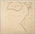
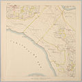
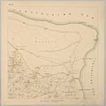
File:Bonaire map 1915 sheet 8.jpg

Fail original(1,500 × 1,490 pixel, tamaño di fail: 271 KB, MIME type: image/jpeg)

E fail akí ta di Wikimedia Commons i por us'é den otro proyekto. E deskripshon riba su página di deskripshon di fail ta indiká mas abou.

Resúmen

Deskripshon
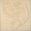
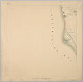
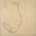
English: Bonaire, Netherlands island in the Caribbean Sea, map of 1915, scale 1:20,000, sheet 8
Fecha circa 1915
date QS:P,+1915-00-00T00:00:00Z/9,P1480,Q5727902
Fuente

http://resolver.kb.nl/resolve?urn=urn:gvn:KONB16:41224418&role=page&count=2&role=image&size=large

(count=2 to count=11 in the URL)
Outor Topographische Inrichting (Den Haag)
Other versions

Lisensia

Public domain

This work is in the public domain in its country of origin and other countries and areas where the copyright term is the author's life plus 70 years or fewer.


This work is in the public domain in the United States because it was published (or registered with the U.S. Copyright Office) before January 1, 1929.

Captions

Add a one-line explanation of what this file represents

Items portrayed in this file

ta portretá

media type ingles

image/jpeg

checksum ingles

5b5e055c4887fdf80a838e8f8ace9d60f8ae2d6b

determination method ingles: SHA-1 ingles

data size ingles

277,045 byte

height ingles

1,490 pixel

width ingles

1,500 pixel

Historia di fail

Klek riba un fecha/ora pa mira e fail, manera e tabata na e momentu ei.

Fecha/OraMiniaturaDimenshonnanUsuarioKomentario
aktual12:41, 5 yanüari 2016Miniatura di e vershon di 12:41, 5 yanüari 20161,500 × 1,490 (271 KB)RatzerUser created page with UploadWizard

E próksimo page uses ta uza e fail akí:

Uso global di fail

E próksimo otro wikinan ta usa e fail akí

Metadato