File:Guatemala (orthographic projection).svg

Size of this PNG preview of this SVG file: 550 × 550 pixels. Otro resolushon: 240 × 240 pixels | 480 × 480 pixels | 768 × 768 pixels | 1,024 × 1,024 pixels | 2,048 × 2,048 pixels.
Fail original (Fail SVG, nominalmente 550x550 pixel, tamaño di fail: 1,019 KB)
.svg)
Gwatamala
Resúmen
| Deskripshon |
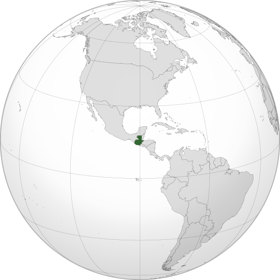
English: Orthographic map of Guatemala centered at 15° N, 90° W.
Official territory.
Claimed territories. Русский: Ортографическая карта Гватемалы с центром в 15° N, 90° W.
Официальная территория.
Заявляемые территории. |
| Fecha | |
| Fuente |
Obra propio with Natural Earth Data This W3C-unspecified vector image was created with Inkscape . |
| Outor | Addicted04 |
Lisensia
I, the copyright holder of this work, hereby publish it under the following license:
E fail akí tin lisensia Creative Commons Attribution-Share Alike 3.0 Unported.
- Bo ta liber:
- pa kompartí – pa kopia, distribuí i transmití e obra
- pa rekombiná – pa adaptá e obra
- Di akuerdo ku e próksimo kondishonnan:
- atribushon – Bo mester duna krédito na e outor, duna un lenk na e lisensia, i indiká si a hasi kambio. Bo por hasi esei na kualke manera rasonabel, perono na manera ku por sugerí ku esun ku ta otorgá e lisensia ta respaldá abo òf bo uzo.
- kompartí meskos – Si bo meskla, transfrmáòf modifiká e obra bo mester distribuí bo kontribushonnan bou di [mes lisensia https://creativecommons.org/share-your-work/licensing-considerations/compatible-licenses òf unu kompatibel] ku esun original.
Historia di fail
Klek riba un fecha/ora pa mira e fail, manera e tabata na e momentu ei.
| Fecha/Ora | Miniatura | Dimenshonnan | Usuario | Komentario | |
|---|---|---|---|---|---|
| aktual | 20:04, 12 yüli 2012 | | 550 × 550 (1,019 KB) | Addicted04 |
Uso di fail
E próksimo page uses ta uza e fail akí:
Uso global di fail
E próksimo otro wikinan ta usa e fail akí
- Uso na ady.wikipedia.org
- Uso na af.wikipedia.org
- Uso na ami.wikipedia.org
- Uso na ar.wikipedia.org
- مستخدم:جار الله/قائمة صور مقالات العلاقات الثنائية
- العلاقات البيلاروسية الغواتيمالية
- العلاقات الغواتيمالية الكندية
- العلاقات الغواتيمالية الهندوراسية
- العلاقات الإسواتينية الغواتيمالية
- العلاقات البوتسوانية الغواتيمالية
- العلاقات العراقية الغواتيمالية
- العلاقات الصومالية الغواتيمالية
- العلاقات الأفغانية الغواتيمالية
- ويكيبيديا:ورشة الصور/أرشيف 36
- Uso na arz.wikipedia.org
- Uso na ast.wikipedia.org
- Uso na avk.wikipedia.org
- Uso na azb.wikipedia.org
- Uso na az.wikipedia.org
- Uso na az.wiktionary.org
- Uso na ba.wikipedia.org
- Uso na be-tarask.wikipedia.org
- Uso na be.wikipedia.org
- Uso na bg.wikipedia.org
- Uso na bh.wikipedia.org
- Uso na bn.wikipedia.org
- Uso na ca.wikipedia.org
- Uso na cdo.wikipedia.org
- Uso na ceb.wikipedia.org
- Uso na ce.wikipedia.org
- Uso na ckb.wikipedia.org
- Uso na cs.wikipedia.org
- Uso na de.wikivoyage.org
- Uso na diq.wikipedia.org
- Uso na dty.wikipedia.org
- Uso na el.wikipedia.org
- Uso na en.wikipedia.org
Mira mas uzo global di e fail akí.
.svg)
.svg)